
poly.cam
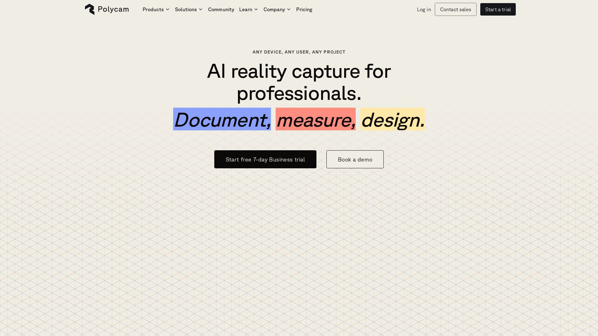
AI reality capture for professionals. Document, measure, design in 3D. Trusted by Fortune 500. Cross-platform spatial AI. Start free 7-day trial.

Editor's Verdict
Key Takeaways
- AI Reality Capture
- Cross-Platform
- Floor Plans
- Measurement Tools
In-Depth Review: What is poly.cam?
Polycam is a professional AI reality capture platform that enables users to document, measure, and design in 3D using spatial AI. It supports multiple capture modes including spatial, object, floorplan, and aerial. Built for teams in architecture, engineering, construction, forensics, and product design, Polycam is trusted by half of the Fortune 500. The platform offers free tools like AI 3D model generator, texture generator, and drone photogrammetry. Users can start with a free 7-day Business trial.
Core Features
AI Reality Capture
Capture any space, object, or environment using spatial AI with support for LiDAR and photogrammetry.
Cross-Platform
Available on iOS, Android, and web browsers, enabling capture on any device.
Floor Plans
Generate instant 2D and 3D floor plans with automated measurements and editable blueprints.
Measurement Tools
Ruler and automated measurements for quick area calculations and distance recording.
Virtual Walkthroughs
Create immersive virtual tours for remote collaboration and client presentations.
AI Generated Reports
Automatically generate detailed reports with capture data and measurements.
Team Collaboration
Shared team libraries, comments on captures, and album sharing for project coordination.
Multiple Export Formats
Export 3D models in GLTF, OBJ, FBX, DAE, STL, USDZ, point clouds, and more.
Free Tools
Access to AI 3D Model Generator, AI Texture Generator, Photogrammetry Creator, and more at no cost.
Pricing
Free
- Limited Space and Object captures
- Up to 3 AI-generated captures
- Up to 10 photogrammetry captures
- Up to 150 images per capture
- 3 minutes video per capture
- GLTF export
- Public link sharing
Basic
- Unlimited Object captures and Gaussian Splats
- Unlimited Space captures with and without LiDAR
- Unlimited AI generated captures
- Up to 300 images per capture
- 5 minutes video per capture
- 6 mesh export formats (GLTF, OBJ, FBX, DAE, STL, USDZ)
- Private link sharing
- Video export without watermark
- Basic measurement tools
Business
- All Basic features
- 2D & 3D floor plans
- Advanced measure tools
- Shared team library
- Point cloud exports
- Virtual Walkthroughs
- AI generated reports
- Up to 2000 images per capture
- 30 minutes video per capture
- Custom branding
- Admin-controlled capture mode restrictions
Enterprise
- All Business features
- Dedicated customer success and support
- Custom branding
- Single Sign-On (SSO)
- Admin-controlled feature customization
- Enhanced data privacy
- Priority feature requests
Pros and Cons
Pros
- AI-Powered AccuracySpatial AI and LiDAR ensure high-quality 3D captures for professional documentation.
- Cross-Platform AvailabilityWorks on iOS, Android, and web, allowing capture on any device.
- Free Tier AvailableStart with a free plan that includes basic captures and public sharing.
- Collaborative FeaturesTeam libraries, comments, and sharing streamline project workflows.
- Extensive Export OptionsExport to multiple formats including point clouds and BIM files.
Cons
- Limited Free PlanFree plan has low capture limits and only GLTF export.
- Requires iOS for LiDARLiDAR capture is exclusive to compatible iOS devices.
- No One-Time PurchaseOnly subscription-based pricing; no perpetual license.
- Expensive for ProfessionalsBusiness plan costs $400/year per user, which may be high for small teams.
- Export Watermark on Free PlanFree plan exports include a watermark.
Use Cases & Recommended Professions
Architect→ View Toolkit
Quickly capture building interiors and exteriors for documentation, measurement, and design revisions.
Construction Manager→ View Toolkit
Document construction sites, generate floor plans, and share progress with stakeholders.
Forensic Investigator→ View Toolkit
Capture crime scenes or accident sites in 3D for analysis and courtroom presentations.
Product Designer→ View Toolkit
Scan physical prototypes and integrate 3D models into digital workflows for iterative design.
Real Estate Agent→ View Toolkit
Create virtual tours and floor plans of properties for online listings and client previews.
Media & Entertainment Professional→ View Toolkit
Capture environments and objects for use in visual effects, game development, or virtual production.
Frequently Asked Questions
Alternative AI Tools
View Detailed Comparison →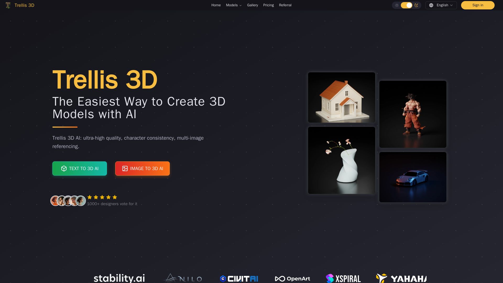
Trellis 3D AI
Create stunning 3D models from text or images using Trellis 3D AI. Ultra-high quality, multi-format output, and easy editing. Try it free!

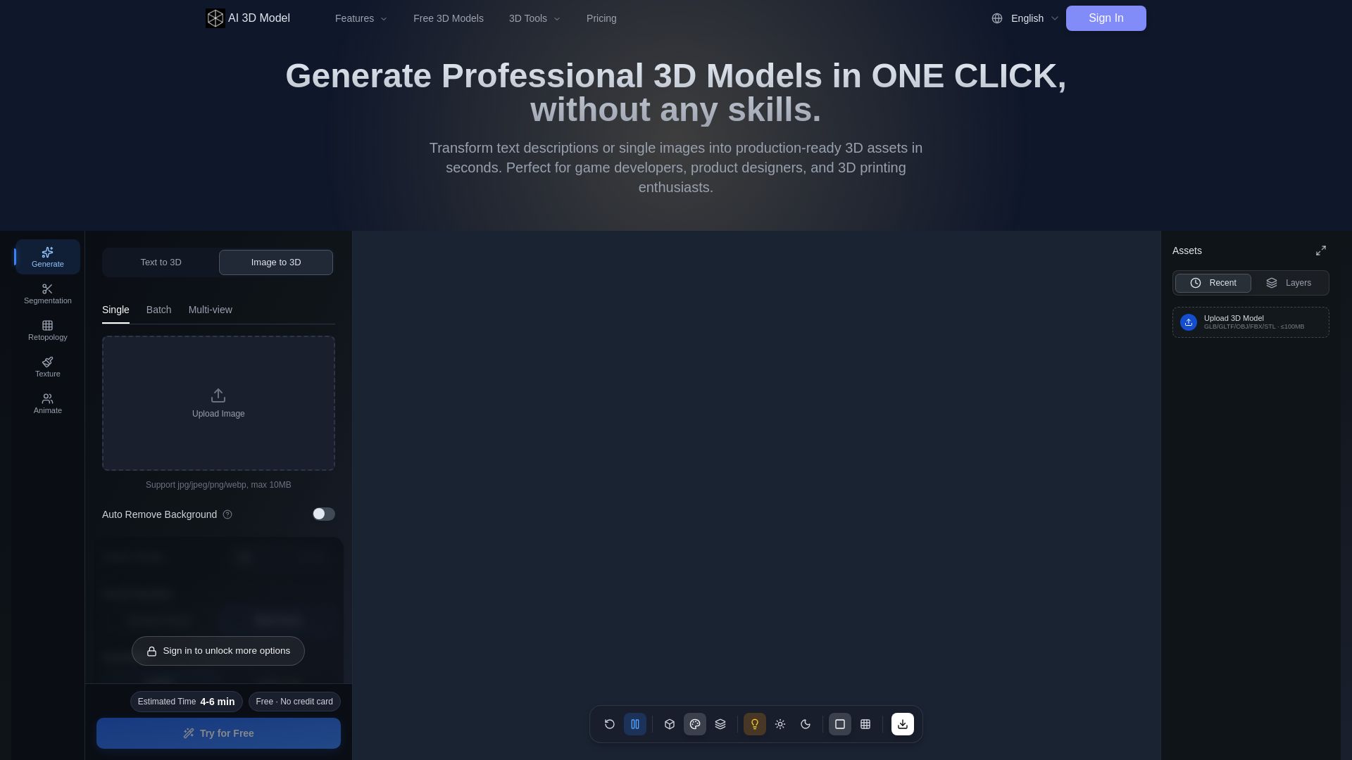
AI 3D Model Generator
Turn text or images into production-ready 3D models in seconds. Perfect for games, product design, 3D printing. No skills needed. Try free!


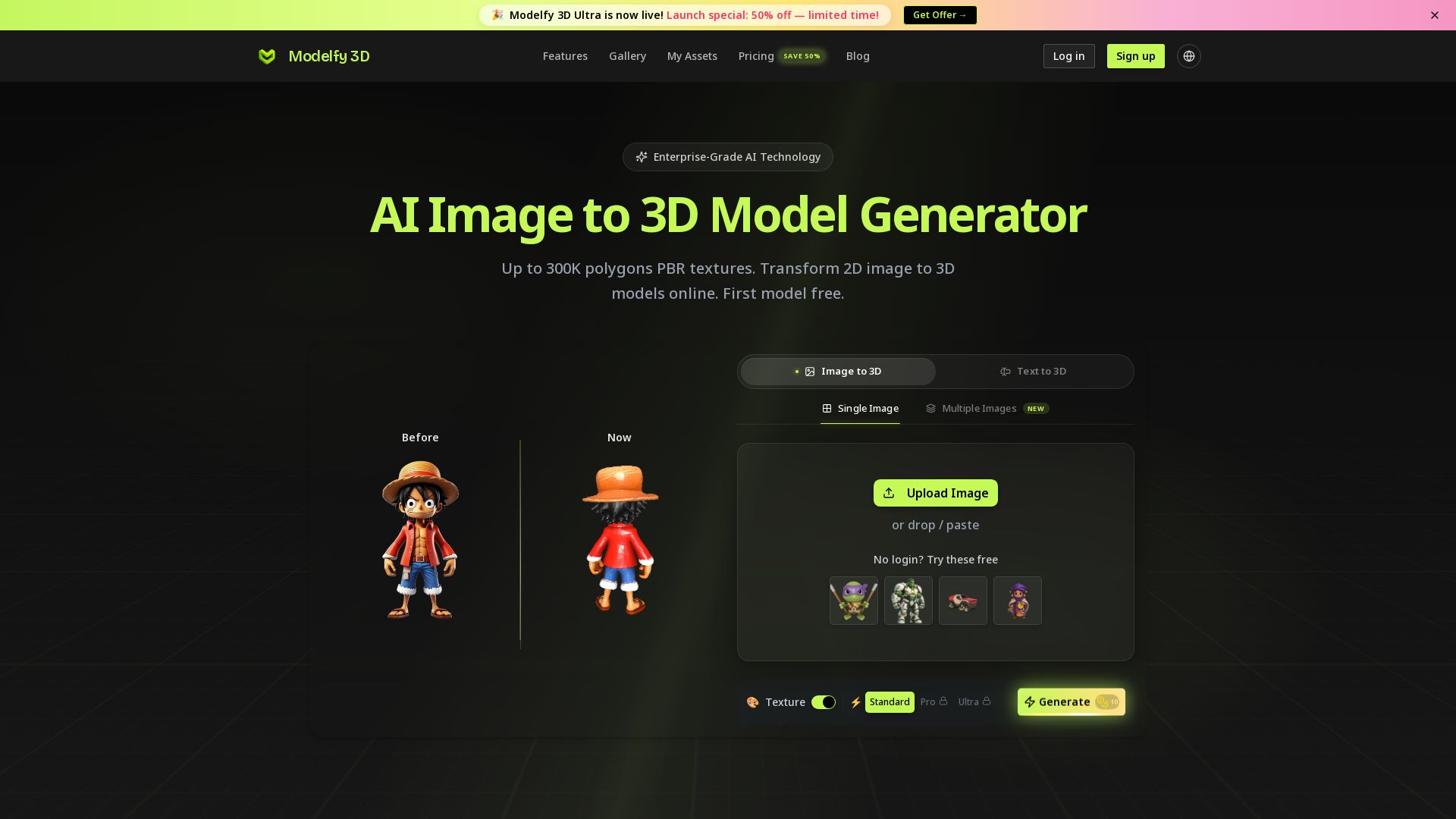
Modelfy 3D
Convert 2D images to 3D models with AI. Up to 300K polygons, PBR textures, GLB/OBJ/STL export. Free first model. Try Modelfy 3D now.


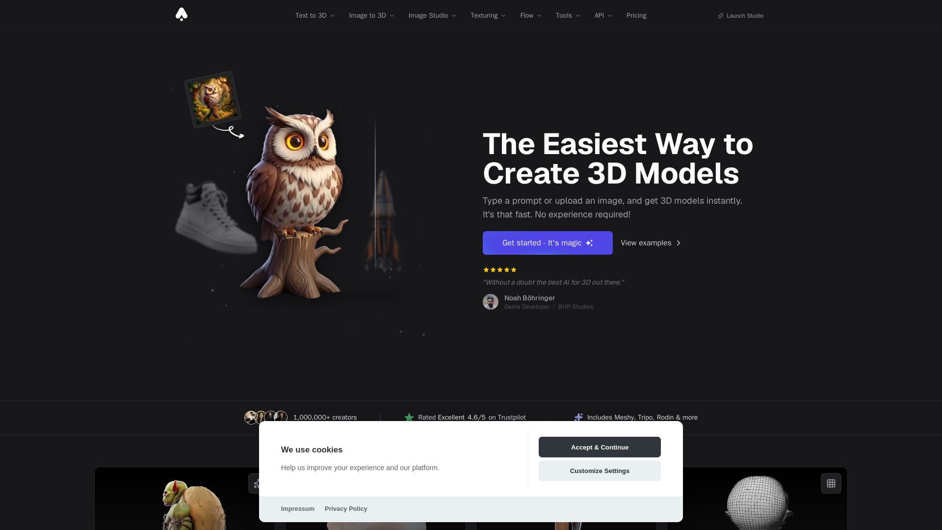
3D AI Studio
Create stunning 3D models instantly from text or images with AI. No experience required. Export to GLB, FBX, STL & more. Used by 1M+ creators.




AI Garden Design vs Hadaa: Features & Pricing (2026)
Upload a photo or sketch, get 22 photorealistic designs, planting guide, blueprint & BOQ. Pay per project, no subscription.




ℹ️ Curation Disclosure: The overview and features of poly.cam were synthesized using AI and fact-checked by our curation team to ensure accuracy.